The beginning of July found me in the Lake District with Sea Cadets from the London and Southern Areas helping to run a Gold and Silver Duke of Edinburgh (DofE) expedition. I was working with John Kelly, Carol O’Brien and Chris Bonfield.
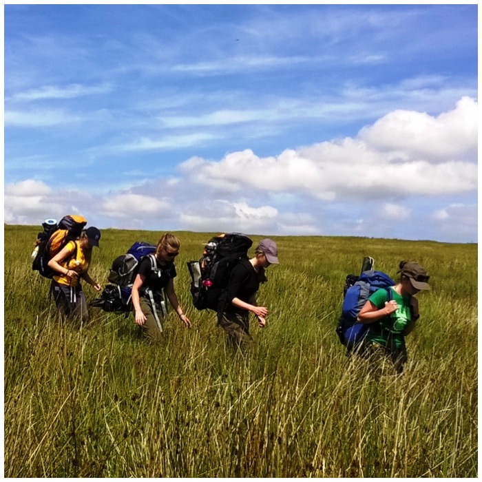
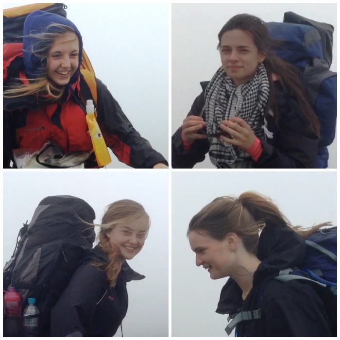
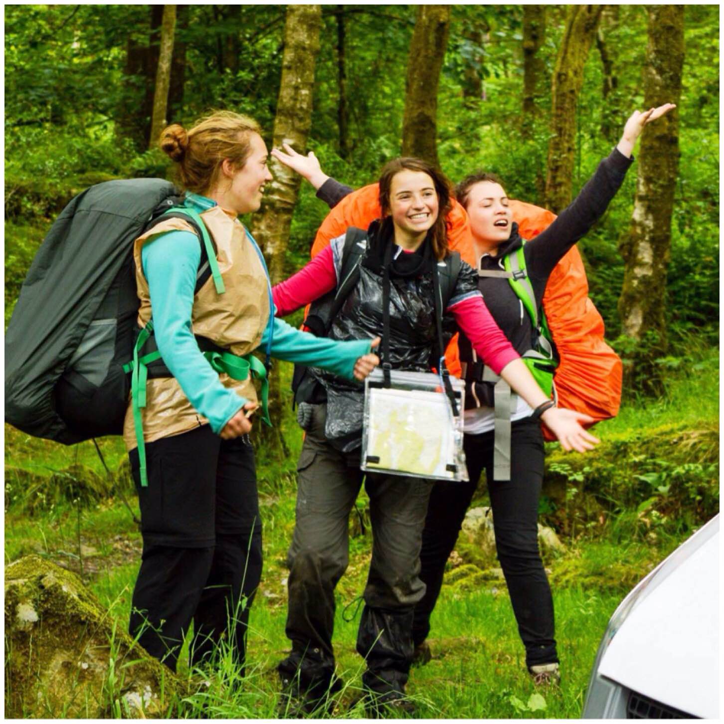
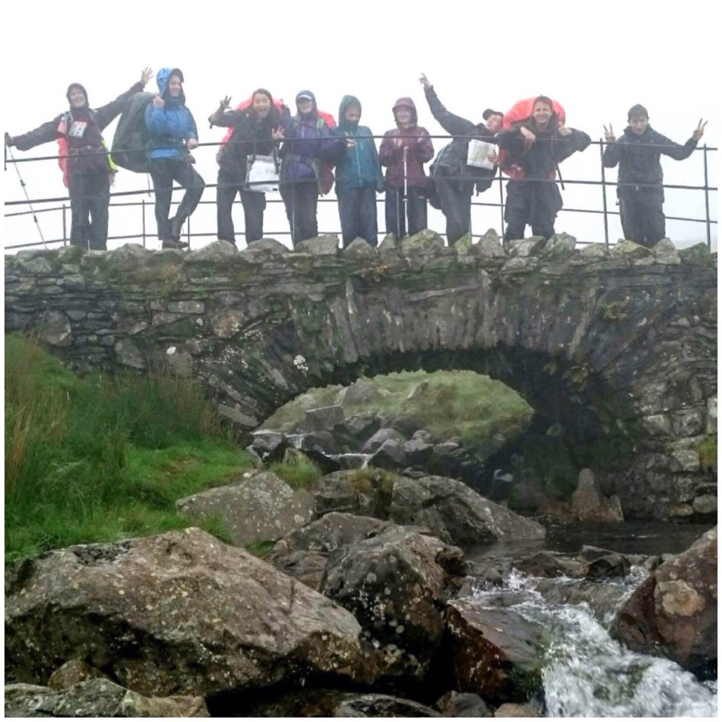
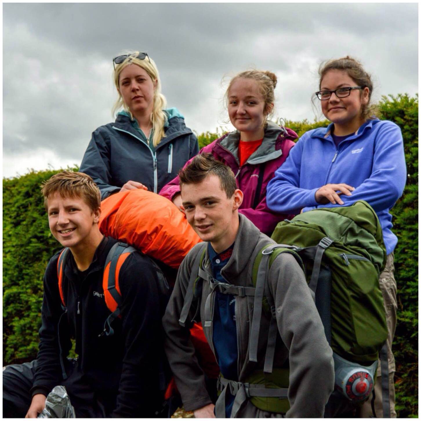
My main roles were to act as an assessor for the Gold Expedition and as the Mountain Safety Officer. It was a very hard trip for the cadets and staff with the terrain and the atrocious weather however as you can see in the picture below of the Silver team finishing that these slight irritations did not dampen their spirits at all.
Day 1 – Saturday 4th July 2015: Hawkshead to the NT Campsite at Great Langdale
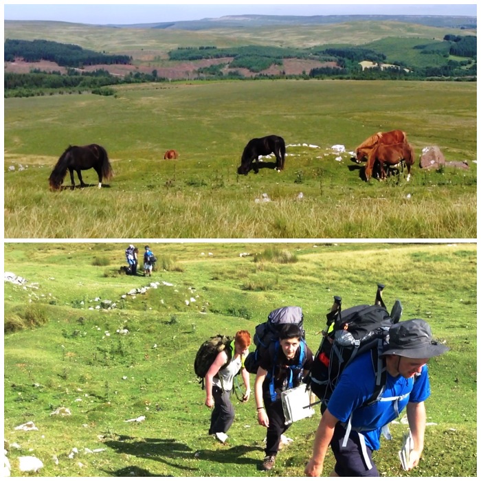
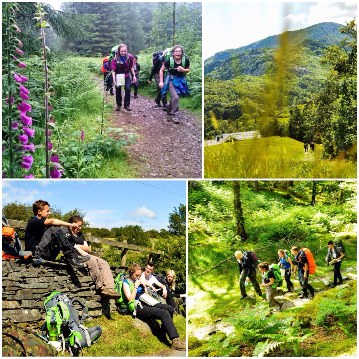
Initially the Gold group were to set off from Grazedale on the Furness Fells however due to road works on the way the minibus could not get through (the Silver team was being assessed by Carol and Chris and were on a different route). The group set off instead in good spirits on a wet morning (though it became increasingly dry and warm throughout the day) to the west of Hawkshead and headed up to Hawkshead Moor.
I gave the team two checkpoints that I would meet them at. These were at Tarn Hows and Little Langdale. There route was initially uphill through Forestry Commission land, over Hawkshead Hill to Tarn Hows. From there they navigated on clear footpaths over to Little Langdale and then north to Chapel Stile.
I spent my day paralleling their route and staying high where possible. I took the time to do a lot of nature photography as well and will post these pictures up as a separate post.
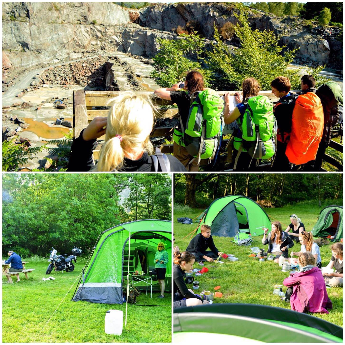
I observed the group taking pictures and notes around the slate mines along the way as part of their project for the expedition.
The group were in good spirit and made good time throughout the day returning to the campsite at Great Langdale following the path alongside Great Langdale Beck.
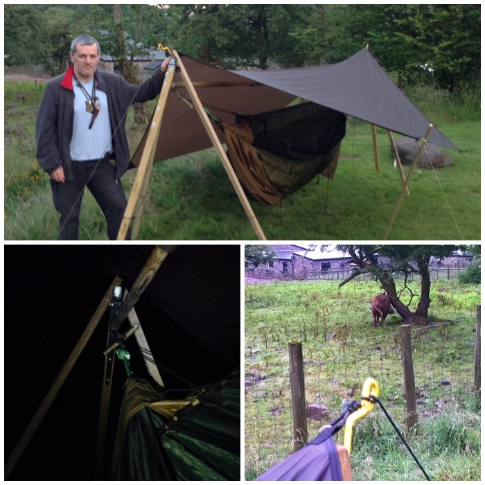
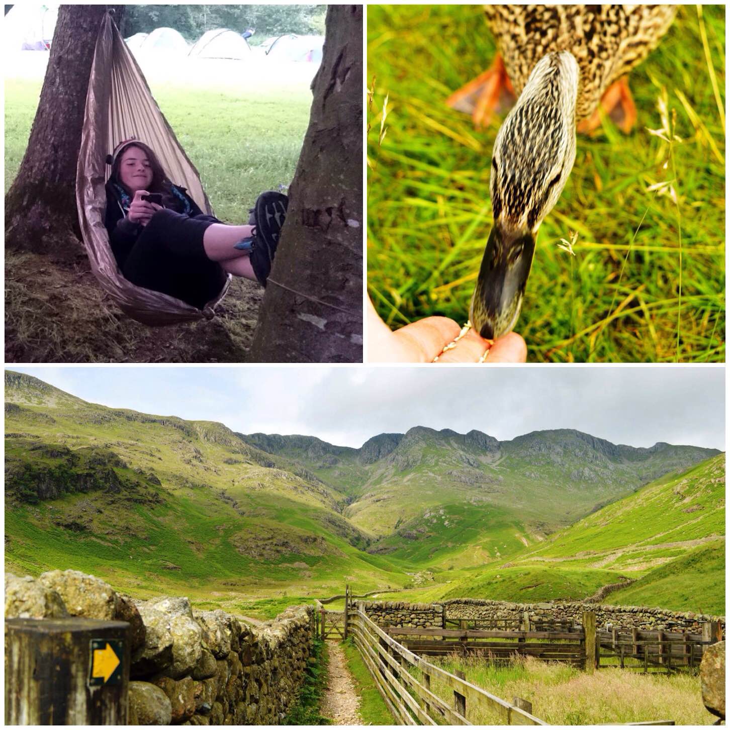
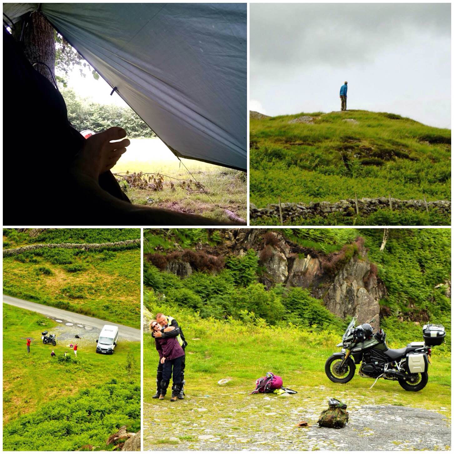
In between all the walking I took out time to feed some ducks, show the cadets some great hammock seats (from UK Hammocks) and to just enjoy the views.
Day 2: Sunday July 5th 2015, Great Langdale – Dalegarth Campsite.
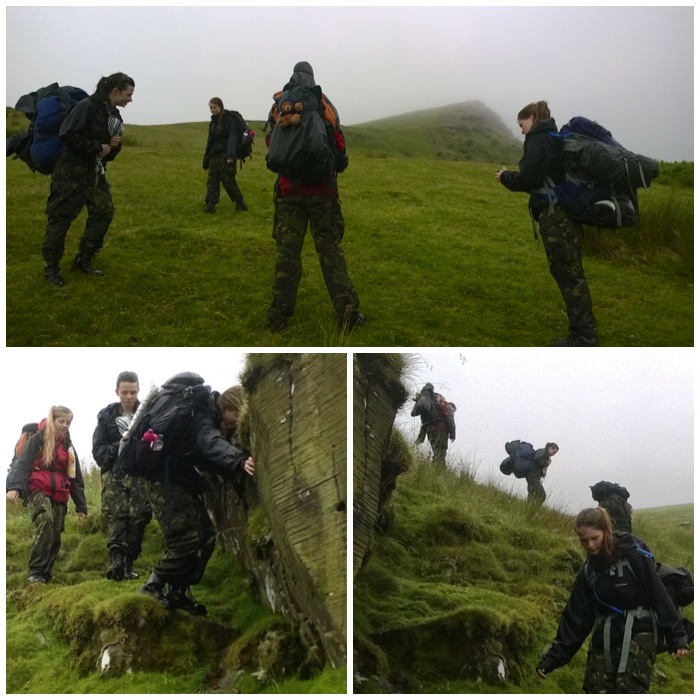
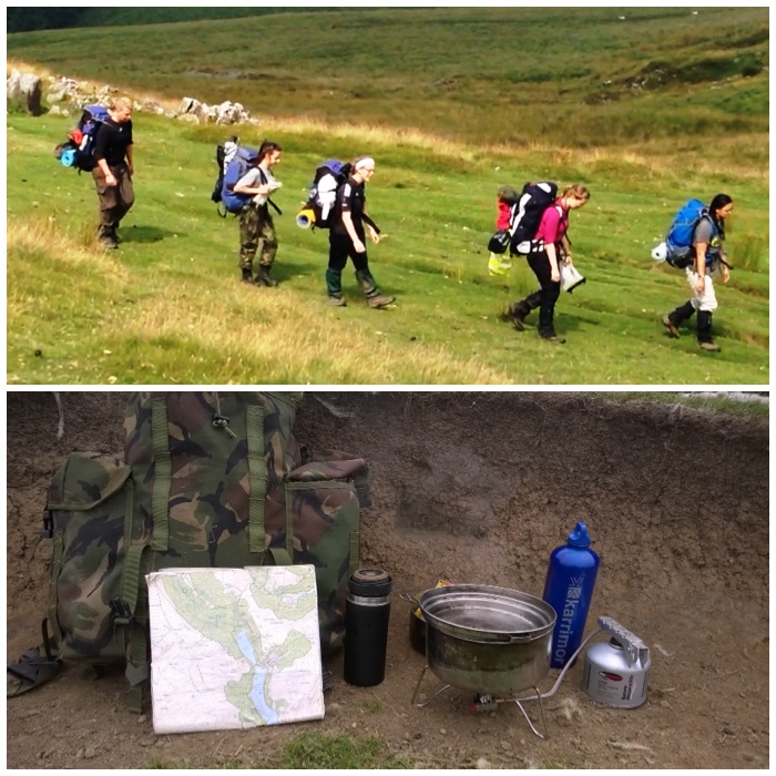
Using their 1:25,000 OS Map & route card the group set off west into the Oxendale valley along farm tracks. The weather was fine initially however as the day wore on it slowly deteriorated with thick low lying cloud and drizzle. I had set them 3 checkpoints I would meet them as they would be walking up to the Three Tarns below Bow Fell. I met the group at Hell Gill on the ascent, at the Three Tarns (700m) on the saddle below Bow Fell and at Lingcove Bridge over the Lingcove Beck.
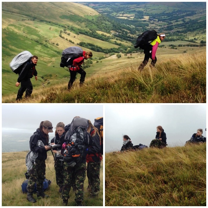
Up to the Three Tarns the group were walking on clear paths and they took their time on the ascent however they worked well and always kept together. I had good views of the group on the ascent as the cloud cover at this stage had not dropped. I could see that each member of the group took it in turns to either use the map and compass and also take it in turn to select what ground to navigate over to avoid rocky or boggy areas.
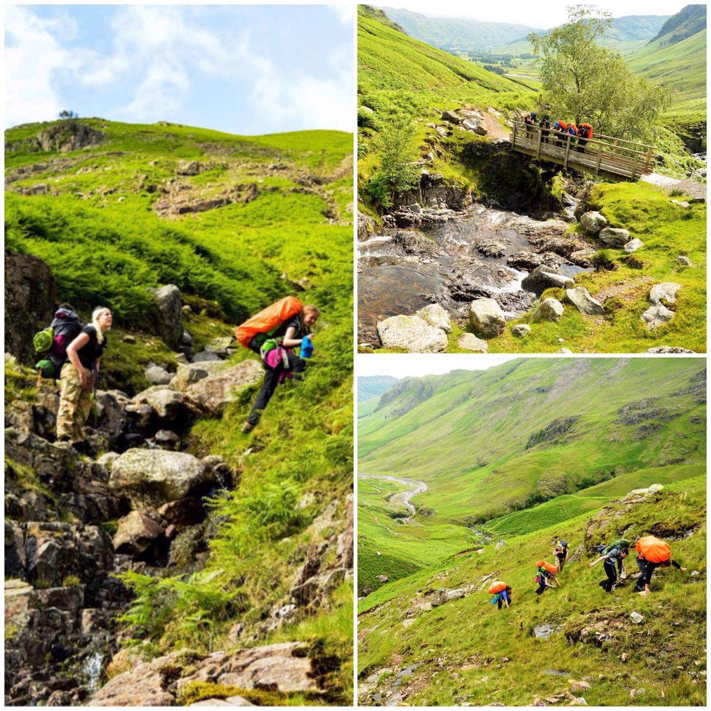
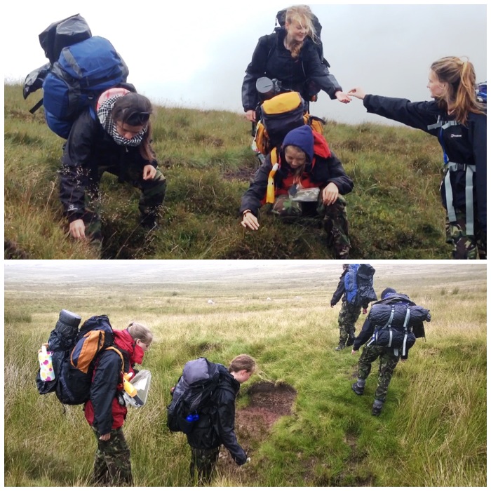
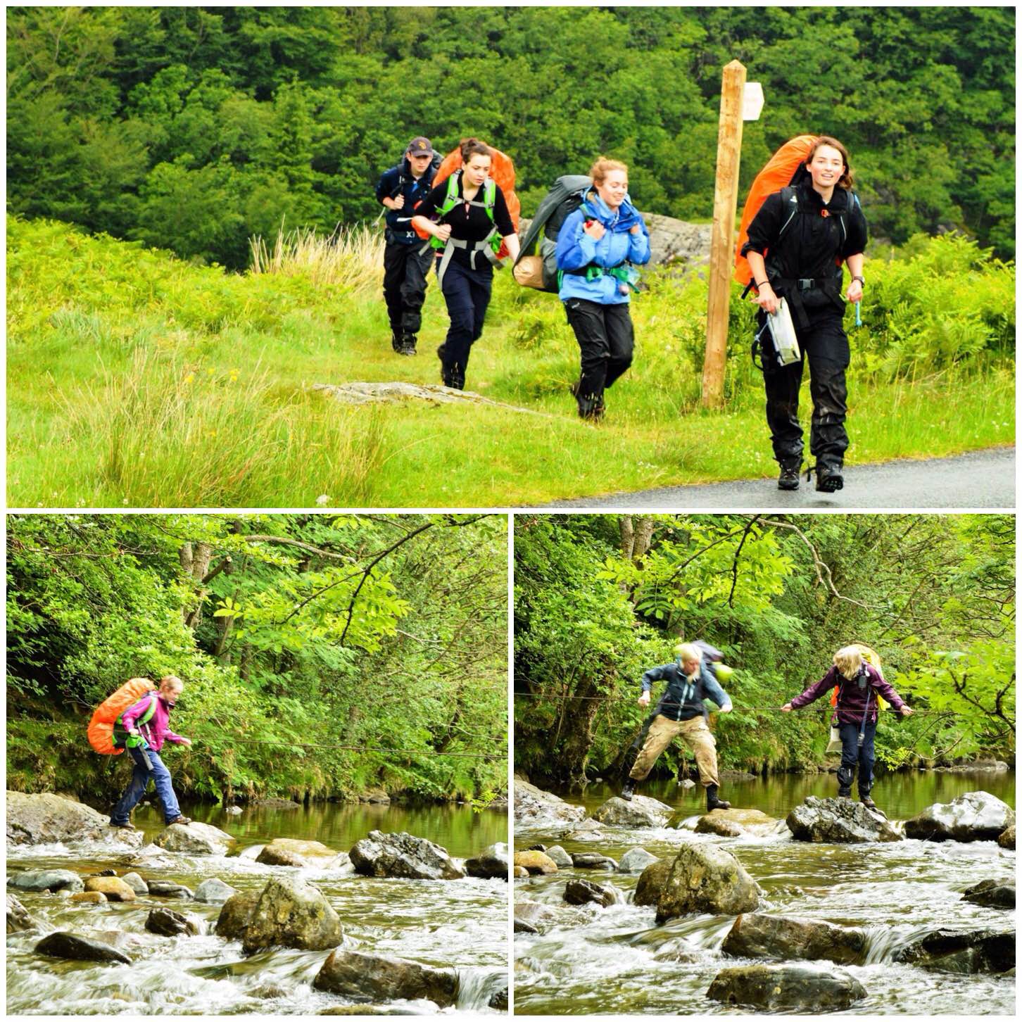
One of the group informed me she was feeling slightly unwell at the Three Tarns and was worried about carrying on. After a good lunch and rest though she felt better and was happy to carry on. The weather started to deteriorate and the path became very faint before disappearing. The group worked on compass bearings and I kept a slightly closer eye on them from the surrounding hillsides at this stage. They navigated well around some particularly rocky and boggy terrain down to Lingcove Bridge in the rain and poor visibility.
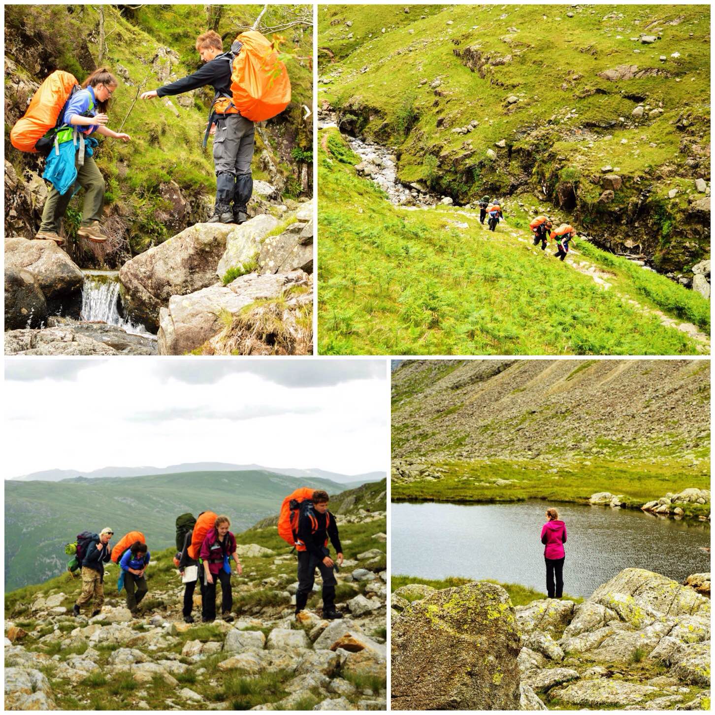
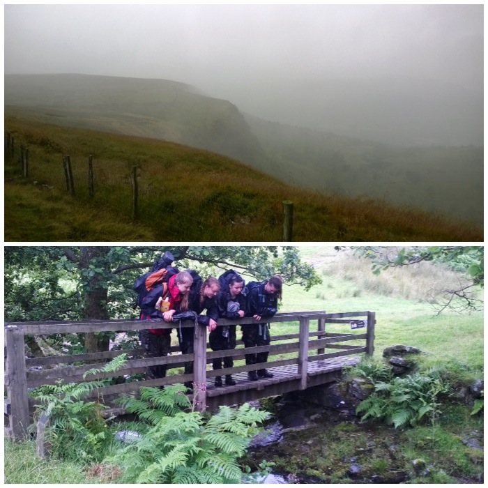
After the team left Lingcove Bridge (below) I spotted three guys trying to cross another stream. The crazy thing was they were dressed in trainers and jeans. Madness when they could have gone back the way they came.
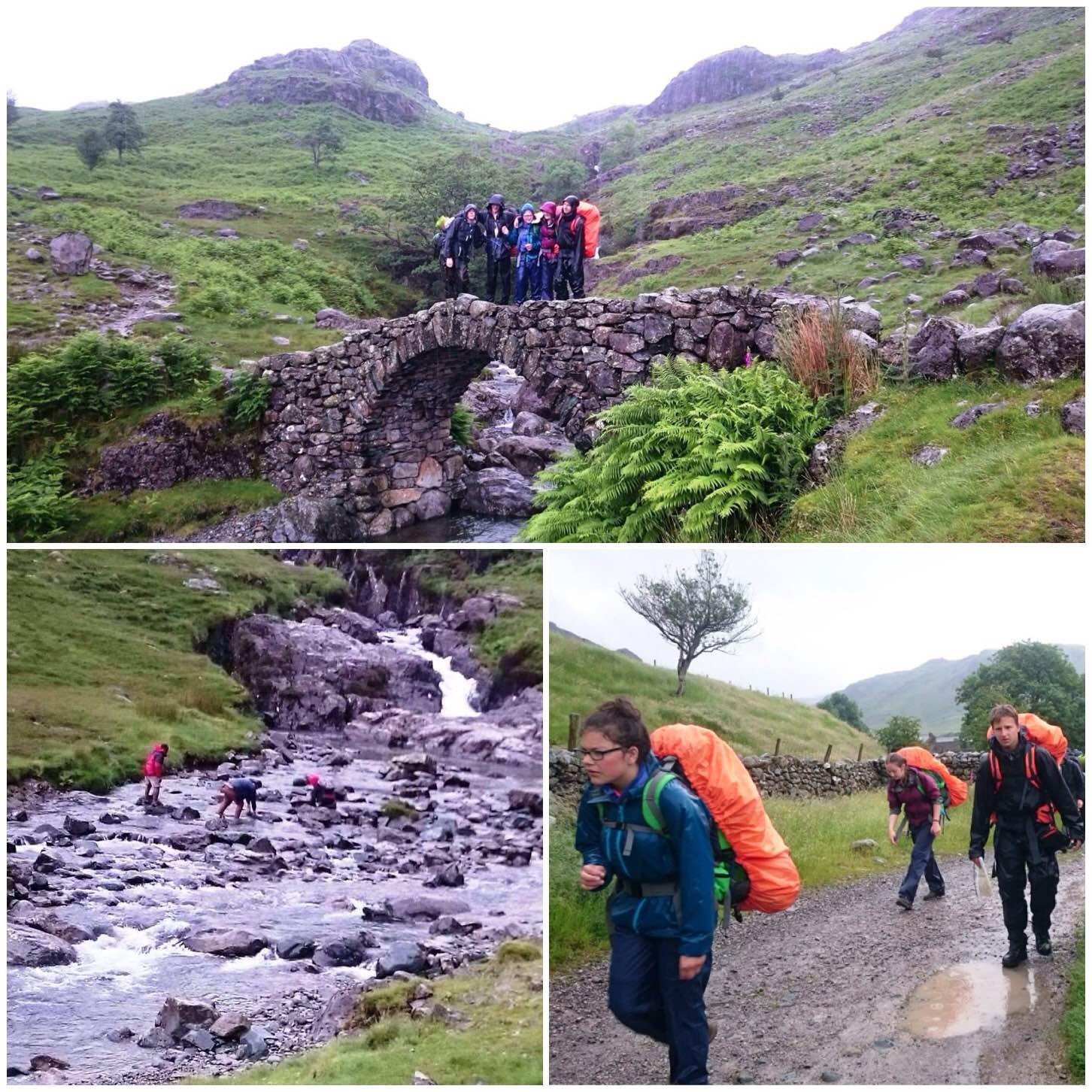
The team then navigated on the path SW alongside the River ESK to the base of the Hardknott pass and then along the path on the valley floor to Dalegarth campsite. I spoke with the team when they arrived and they told me that they err’d slightly along the path in the Eskdale valley but managed to re-locate themselves before going too far.
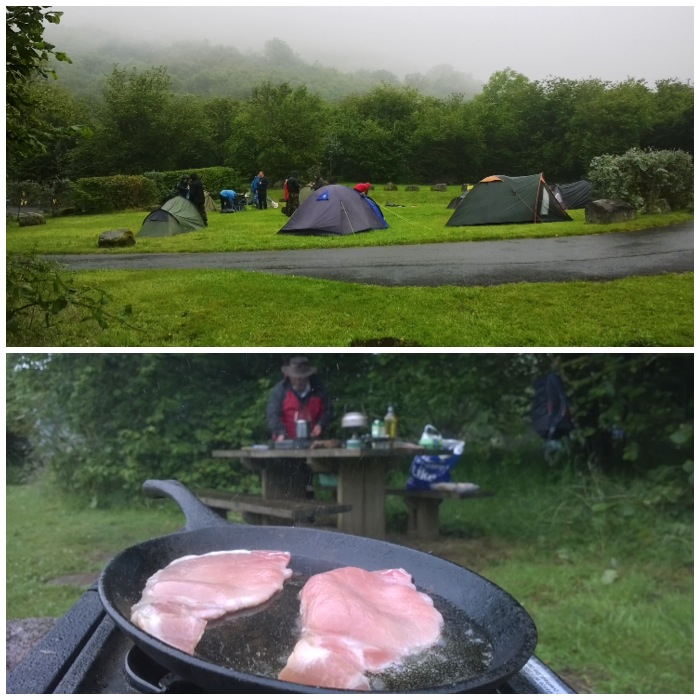
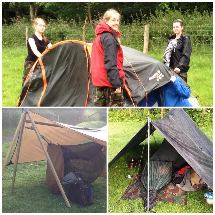
The team arrived very wet and tired at the campsite but still in good spirits after a very trying days walk
Day 3: Monday July 6th 2015, Dalegarth Campsite – Conniston Hall Campsite.
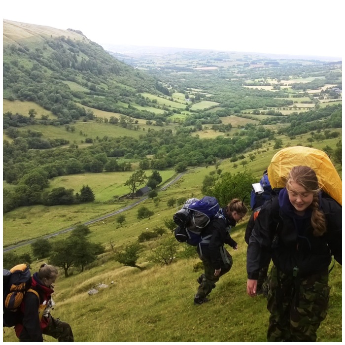
This was a very challenging day for the group with a lot of ascent and poor weather. Initially the day started overcast however it deteriorated to low lying cloud and persistent rain until evening.
From Dalegarth they set off SE around Crook and Green Crags (400m). I met the group at lunchtime at High Tongue near Seathwaite. The group found the mornings leg navigationally very challenging however they took their time and managed to locate the checkpoint. The local forest had been felled recently making navigation very challenging however they made good use of high points to spot landmarks they could identify.
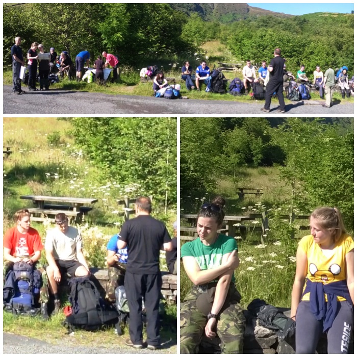
Eventually after much sitting around (fairly common in the assessing world) everyone started to appear with the Silvers first.
I spotted the Golds as they were making their way over the stepping stones.
After a good rest I left them and headed up onto the slopes at Walna Scar to observe them. This is where the low lying cloud came down and the rain started. I observed though that the team took a wrong turning at the base of Long House Gill and were heading up towards the Old Man of Coniston. I did intercept them before going too far and got them to work out where they were heading and soon they were going up over Walna Scar (600m) towards Coniston. Two of the group were suffering from foot injuries so I observed that they were travelling very slow but steadily. The visibility became very limited and I moved in closer to the group to ensure that they stayed on the right track.
With good navigation they found my checkpoints along the Walna Scar road and were soon down into Conniston. The weather was atrocious however the team spirit was great with everyone helping to keep their spirits up by singing and keeping to a steady pace.
The campsite was on the edge of Conniston water and very basic and open to the elements. Everyone was wet however they soon had their tents up and dinner on. I left them tired but in high spirits.
Day 4: Tuesday July 7th 2015, Conniston Hall Campsite – Grizedale
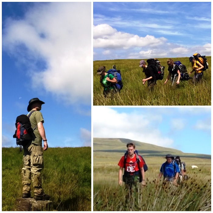
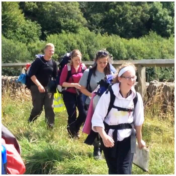
The final day was much better in terms of the weather. It was clear, cloudy and there was little wind. The team set of early from Conniston following the footpaths to the head of Conniston Water at Monk Coniston.
The Silver team successfully navigated to the finish point and were delighted to have made it.
The Gold team navigated up through the woods onto Monk Coniston Moor as well however due to the many tracks in this area the team err’d slightly but managed to make their way to Grizedale on time for a revised pick up there.
Even though this was one of the better days they were tired and some carried injuries they stayed positive and carried on. I observed them helping each other and this allowed them all to finish as a happy team.
Both teams faced many trials throughout the expedition, from injuries, navigational errors, poor weather and some very tough terrain. They could so easily have given up with any of these trials however they chose to work through each one and came through well at the end.
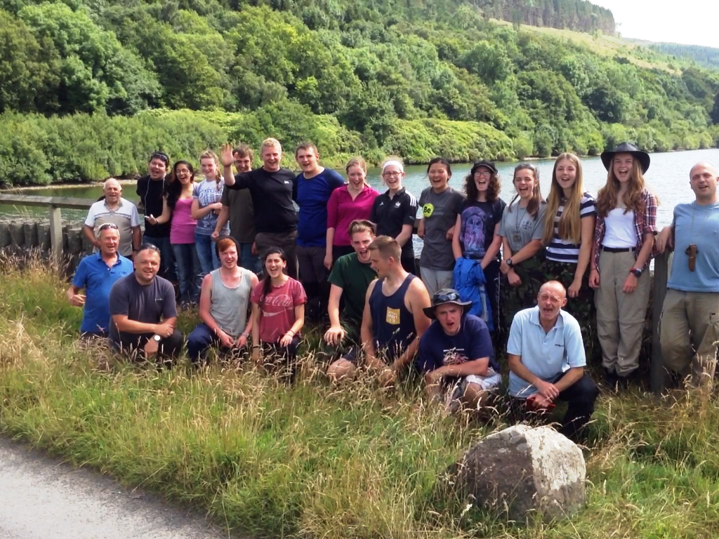
Well done all.
George